Peak 42 | Kebnekaise, Sweden | 2096m | 3rd September 2019
- Adam Stevenson

- Sep 3, 2019
- 6 min read
Updated: Nov 14, 2019
The highest point of Sweden is situated 150 km above the arctic circle. Due to melting glaciers, the year of my challenge also coincided with the year that the highest summit in Sweden flipped.

Quick Summary
• Starting point - Nikkolota
• Route taken - Eastern route up, Western route down
• Total ascent - 1400 m
• Total length - 17 km (summit) + 19 km
• Total time - 10 + 3½ hours
• Accommodation - STF Keb Fjallstation
• Expense category - #High
• Equipment - #FullAlpine Gear
• Difficulty - #Level4 of 5
• Enjoyment - #5star of 5*
The Stockholm Journey
1st September
I was returning from a 3-day stopover in London after successfully getting my Russian visa. I planned to fly back out to do the two in the attic circle next. These were for Sweden and Finland, my last two real challenges before the grand finale in Russia.
However, they are among the most remote high points on continental Europe.
I arranged to do a quick regroup with my two travel buddies. They had driven the car from Oslo to Stockholm while I'd been back in the UK. Our original ambition had been to drive the whole way up to the high points, along the scenic Norwegian coastline. But this late into my adventure, I was running out of time. To get that done would have involved a multi-day driving marathon, which none of us liked the thought of doing.

So instead, I flew into Stockholm, collected my hiking gear, and a just few hours later left my friends once more to get on a 19-hour overnight train to up to the North of the country. I got off at Kiruna, a mining city about 90 km from Kebnekaise. Where I stayed a night to figure out more details of where I needed to go next, as it turned out that there is a (popular) two-hour bus ride to Nikkaluokta, the village where the hiking trail starts, so, this would be my plan for the following day.
Nikkaluokta to Kebnekaise
2nd September
What happened next was also an unexpected change in my plans.
Along the bus journey, another passenger sat down next to me who was also planning to go up Kebnekaise. As we got chatting, she asked how I would be getting to the mountain station. I felt like this was probably a trick question as there are only two ways to get there as the road finishes at Nikkaluokta. So we are left with either walking or a Helicopter. To my joy, they said that they would be getting the helicopter and they had a spare seat. Nothing more needed to be said. I'd said yes to joining them without thinking twice about it. I'd never been in a helicopter before, and I was so excited!

The helicopter ride chewed up the 19 km hike in less than 10 mins. It's a would usually take over four hours or more.

We landed and I pulled my baggage out of the copper, then it suddenly dawned on me that I had left my down jacket back in Nikkaluokta! Damn! I was hoping that this wouldn't be a vital mistake. But we went on to check-in to the Kebnekaise mountain station situated 690 m above sea level. It was probably one the best mountain huts I'd been in. This was 'Glamping' at its best, all be it very pricey!
It was still early in the day so we went to explore the area a little.

My plan was to set of for the summit the next day. Weather was looking good which was a surprise as when I checked a few days earlier it wasn't looking great. I was just hoping that it wouldn't be too cold up there as I no longer had my down jacket.

As there are two main summits for Kebnekaise I had a unique and rather strange dilemma on what summit I needed to ascend to make sure that I was at Sweden's true high point. Traditionally the South summit has always held the title of the highest since measurements started, but it's made up of ice and has been getting smaller over the years. In last year's annual results, the gap had been reduced to just 30 cm higher than the Northern summit that is made up of bedrock. So to play it safe I decided that I would do them both.
Climbing to the top of Sweden
3rd September
The morning of the summit day was gorgeous, not aloud in the sky. I started around 6:30 am, and I had decided to go alone and take the more scenic, but less used Eastern route. In fact, I think that I could have the only person to go up the Eastern route on this day. I couldn't see a single other person along the entire trail.

Not long after leaving the mountain station the steeper Eastern route forks of the main trail and up into a valley, but it's rarely marked, unlike the main Western trail. Probably in an effort to put people off using it without a guide.

I stumbled across my first heard of Reindeer after I had come up from the valley. There are hundreds of them in the area. But I wasn't sure why these ones were so high up in the barren-looking rock fields.

At 1550 meters up it was time for me to cross the 1.5 km Björling's glacier. It's named after the first Swede to climb the mountain. I crampon'ed up and went for it! I was a little hesitant at first as there was nobody else around, but the glacier was in pretty good condition and I felt any risk of falling into a crevasse seemed pretty low.

Crossing the glacier I needed to aim for a spine of snow coming off Kebnekaise East cliff face. This is where the fixed rope via Ferrata section starts. I didn't have a harness with me but there was no point on it where I felt uncomfortable.

At the top of the cliff face, the Eastern and Western routes merge again next to this mountain shelter. I began to see other people again after three hours of nothing but me and a few Reindeer.

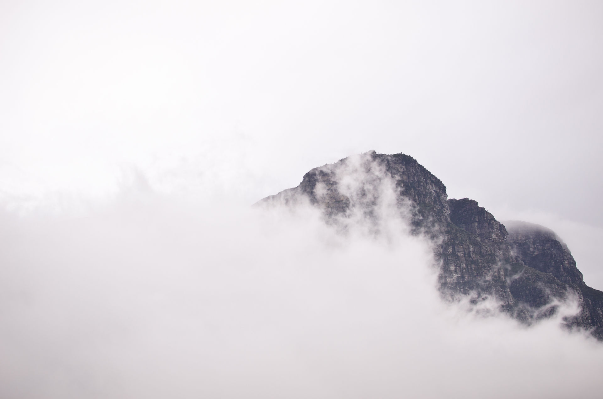
As I approached the last few hundred meters below the summit the blue skies had turned grey and the clouds had come in, reduced visibility to less than 50 m at times. I waited in the shelter near the top for 10 minutes or so in the hope that they would clear.

But my mistake of forgetting to take my down jacket onto the Helicopter was starting to have its implications. Stood still I was getting cold and I was out of additional layers. So, on a slight clearing in the clouds, I decided just to crack on with it.

I had reached the South summit, but I had no idea if I was stood on the highest peak or not. By this point, the Kebnekaise was nearly complete shrouded over by cloud cover, so when I looked over towards the North Summit it was completely hidden.


My gut feeling was that the Northern would be the higher summit. So I wanted to get there to be sure that I reached the highest point of Sweden no matter what the survey results would be. So, my decision to transverses across was near-instantaneous as my Guinness World record attempt required me to get there. However, what wasn't, was acting on it. There was a nervous moment as I made my first steps across, going slowly and carefully as I could over the narrow icy ridge. I knew that any mistake here could be fatal, and I had nobody roped in with me as a safety net. The cloud cover was also making me feel like I was in a creepy horror movie.

Thankfully, the clouds shifted away soon after and I could then see the North summit in front of me, now just a few short minutes away.

Then I did it! I had reached the North summit! I was so relieved. I turned and looked back behind me along the icy ridgeline that I'd just walked across to see a lone man stood on the South peak. We waved to each over before he disappeared back down.
Coincidentally, on the day I did the climb was also the day that the survey was being carried out. It found that for the first time in the recorded history the Northern summit had taken the crown for the highest peak now standing at 1.2 meters higher (Source). It is also set to remain this way as the South is continually losing over a meter of ice every year...

I had fallen in love with the area so I decided to spend a further 2 nights at the mountain station before moving onto my final #Nordic country, Finland. All-in-all one of the highlights in my European Peaks project. I can not recommend this place more!
Tags


Comments