Peak 2 | Slieve Donard, Northern Ireland | 850m | 4th April 2019
- Adam Stevenson

- Apr 4, 2019
- 3 min read
Updated: Dec 27, 2019
Just a couple of days into the challenge, and already the whole project came at the risk of being called off. So, during my ascent up Northern Ireland's highest mountain, my head felt a bit like how the weather was that day - hazy.

Quick Summary
• Starting point - Danard carpark
• Route taken - Via Glen River
• Total ascent - 820m
• Total length - 9.2 km round trip
• Total time for the climb - 3½ hours
• Expense category - #Low
• Equipment - #StandardHike
• Difficulty - #Level2 of 5
• Enjoyment - #3stars of 5*
Already time to call it off?

3rd April
This whole project was initiated by my friend Iain Salter, and it was always planned to be a two-man endeavor. But after our return from Carrauntoohil, Ireland's highest mountain. He had reignited symptoms from a previous back injury. And with the potential severity of what it could lead too, he made the tough decision to withdraw from challenge and the world record.
It was a heavy blow for both of us. I felt sympathy for Iain as it had been an ambition he'd wanted to do for years. But also, it was hugely daunting for me. If I were to carry on with the project, it would be on my own for the most part.
I had quit my job and set aside a considerable chunk of my life savings for this adventure. I had complete freedom to do whatever I wanted for the next few months.
So, I found myself spending an evening wandering around Belfast in the rain, contemplating if this was the right path for me. I had no experience in the mountains, and yet I was attempting to set a new mountaineering record. It felt a seemingly unlikely scenario at best now I was on my own. Briefly, there was the real thought of hanging up the towel and doing what everyone else seems to do on their travels. To go and party.
Climbing the highest point in Northern Ireland
4th April
The next day, despite still being a little unsure of my overall plan, I decided to continue with the peaks as initially intended. So in the morning, we drove the hour south from Belfast to the Mourne mountains. This time though, the climb would be with the absents of Iain.
Slieve Donard was one of the additional mountains that we identified for our challenge. As Northern Ireland is banded under the United Kingdom, it was only necessary for us to climb Ben Nevis in Scotland for the UK's high point.

However, agreeing on the same outcome as previous 'peek-baggers' had concluded. That the four individual principalities of the UK are worthy of being separated for their distinct cultural and historical identities. So I would include to climb to the highest point of all them in this challenge. And besides, as Brexit is very much a fresh topic, who can really know for sure what will happen politically to these states in the future.
Out of the list of peaks on this project, this mountain was one of the relatively smaller ones. Falling in at number 35 of 48 in the height chart. But this is one of the few that the hike is started from virtually sea level. We arrived in the town of Newcastle, and at the base of the walk, there is a large carpark with food and toilet facilities.


The first part of the walk is lovely and scenic. There is a trail following and meandering the Glen river, through Donard woods. Crossing over it once and back again further up. After passing the woods, it then opens up to grassed fields up until the summit.

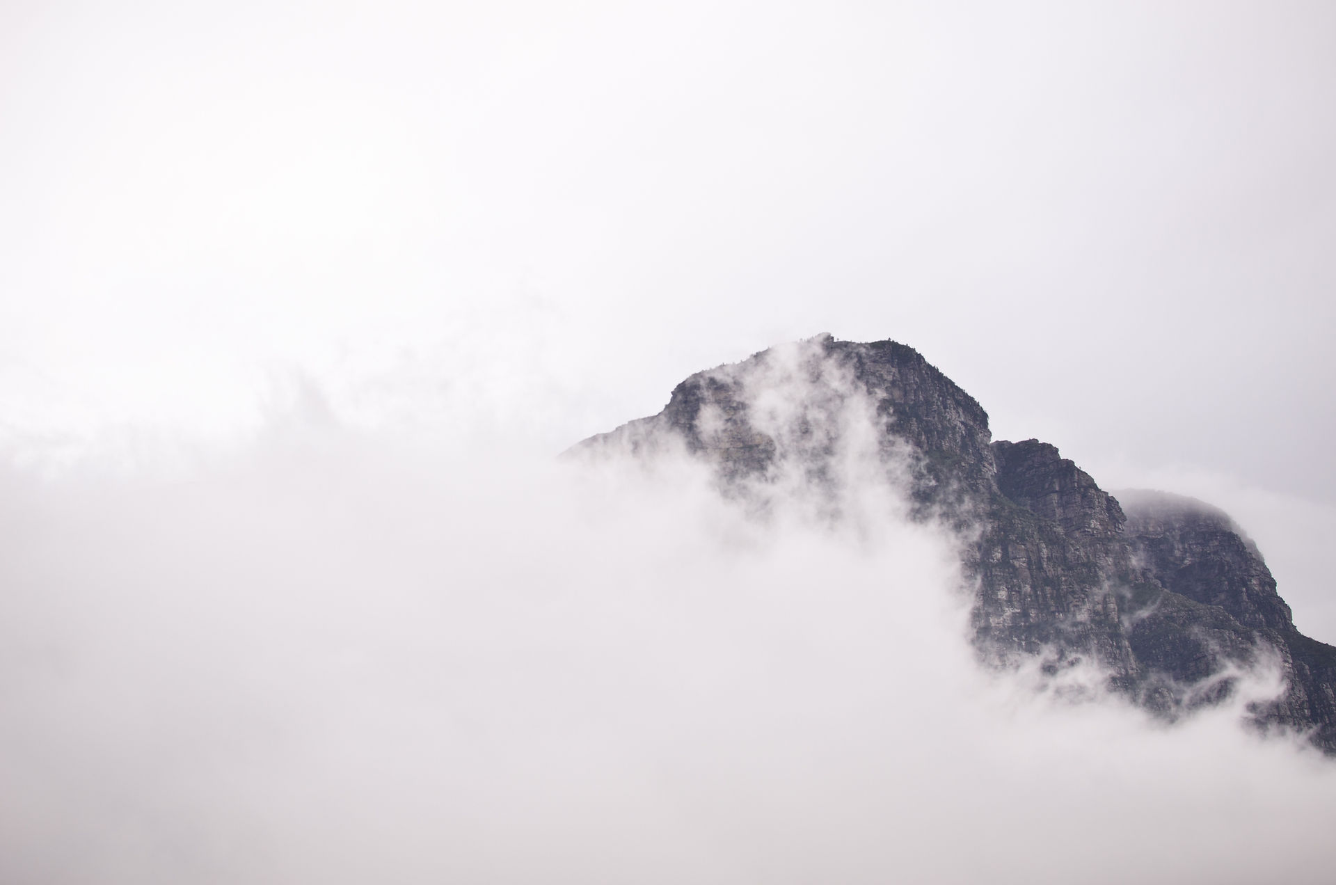
The next part involves going up steps until we reach a place called 'the saddle.' A flat part of the hike where we came into the view of the Mourne wall - which we would follow all the way to the summit. This is where our viability was reduced as we went through the low cloud cover-up into the snow. This part was quite steep, but the snow was quite fresh, so it wasn't too bad to walk on.


Like my first climb up Carrauntoohil in Ireland, the summit here was also exposed to a freezing wind. So again, after a few quick photos, we descended back down and out of the clouds.
Having completed both high points now on the island of Ireland, we still had a couple of days before our ferry across to Scotland for our next peak. So we planned to stay in Belfast another night and head up to the Northern coast to Portrush. Stopping at the Giants Causeway en route.
Next up - Peak 3| Ben Nevis, Scotland
Tags


Comments