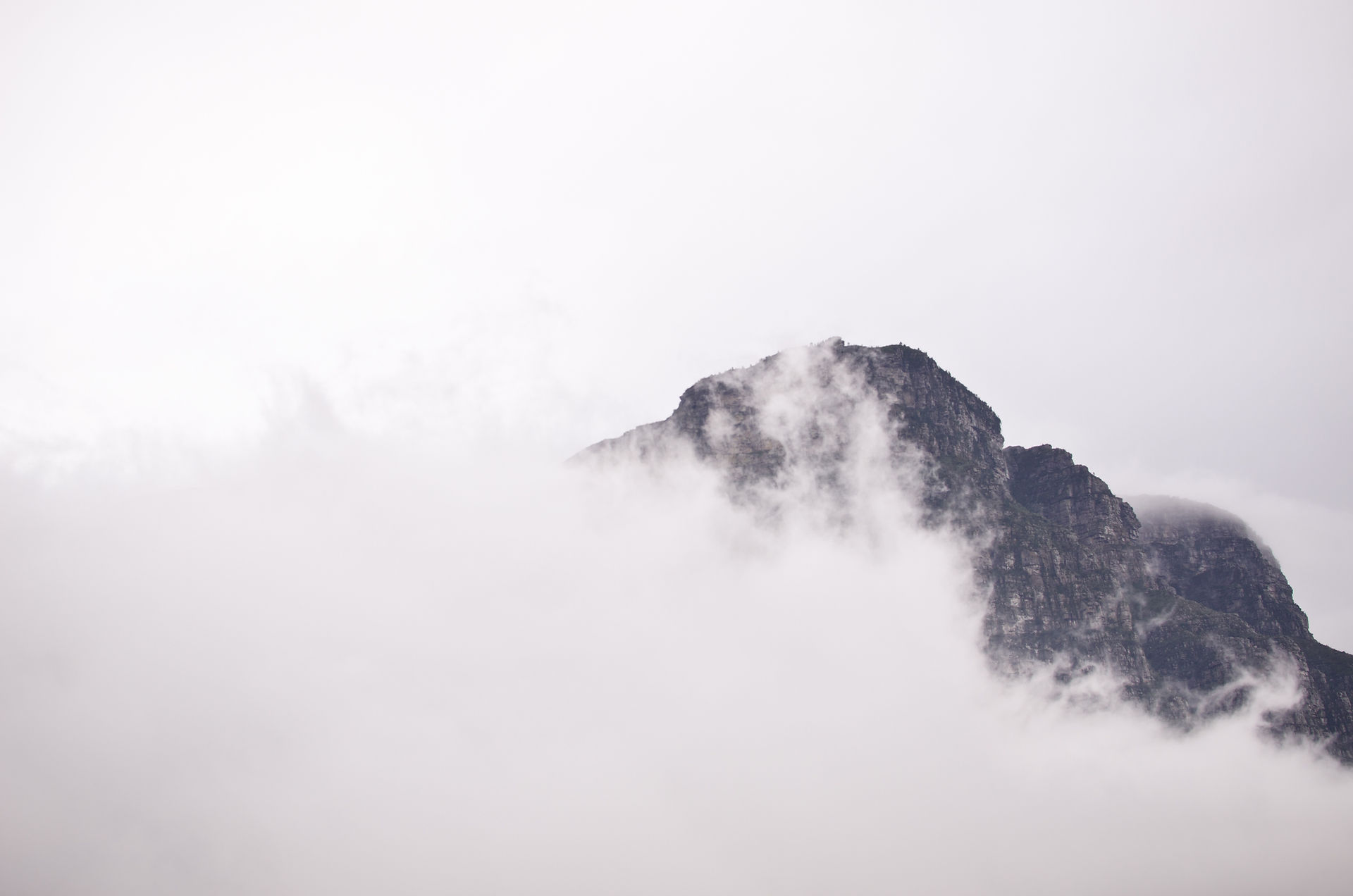
Peak 16 | Maglič, Bosnia & Herzegovina | 2386m | 7th June 2019
- Adam Stevenson

- Jun 7, 2019
- 4 min read
Updated: Nov 12, 2019

Quick Summary
• Starting point - Tjentiste
• Route taken - Via Dernicista
• Total ascent - 750 m
• Total length - 10 km round trip
• Total time for the climb - 4¾ hours
• Expense category - #Modrate
• Equipment - #StandardHike
• Difficulty - #Level3 of 5
• Enjoyment - #4star of 5*
After I completed Croatia's highest peak, Dinara, the next one that is geographically closest is Bosnia's. However due to some wet weather that we had been having around the area the mountain wasn't really ideal for me to go up. So we decided to pass some time by heading down the coast and visit some place that we really wanted to go. We stopped at Split, Dubrovnik and finally got down to Kotor in Montenegro before the weather started improving again.
When the weather finally turned, I doubled back on myself heading to back to Bosnia and straight towards the mountain. My plan was to drive from Kotor to Maglič, hike the mountain and return to Kotor that evening to regroup with my friend Tom. I'd already lost almost a week from the bad weather for hiking highpoints so I was eager to move straight on towards the next mountain in Montenegro the following day.

I calculated that the driving would take me between 7 to 8 hours and the hike around 6 hours. So I already knew that I would be a long day on a best case scenario. I got up at 7am from our hostel in Kotor and set off shortly after.
First problem occurred as I reached the border. My car insurance didn't cover me to drive in Bosnia. But I already knew that. I had planned to purchase it on the crossing. The issue being that it was €40 to get the minimum cover of 7 days. I only had €32 on me, and of course no ATM's for miles.. We had been through to Montenegro a few days earlier and that cost us €15 for the same term, so I wasn't really expecting such a huge difference in pricing.

After searching my car again top to bottom for any loose change I went back to them with whatever currency I found. There were British Pounds, Croatian Kuna and a bit more in Euros. But it still wasn't quite enough for them. Eventually after a bit of persuasion they agreed to give me the piece of paper I needed for me to get through but they would only cover me for 3 days. It seemed a bad deal, and I was confused on how the minimum term suddenly went from 7 to 3 days, but it meant I could continue and get the mountain done that day.

The mountain is located right in the heart of the Bosnia's & Herzegovina's Sujeska National Park. When I reached this point it then involves driving down a road with more holes in it then some Swiss cheese for well over an hour. The whole area feels very remote. After a few kilometers along the surfaced road a barrier comes into view with boarder control guard. He asked me for my passport and a fee of 7 Bosnian marks to pass through into the National Park.

Although I was given some further directions by the guard and given a hand drawn rudimentary map from a page in his notebook, the start point was very unclear and quite easy to miss. I was fortunate that I spotted that another SUV was parked up on the side and got curious. I decided that I would park next to it and have a look around.

Just as I was getting my bag ready for my hike, a woman's voice startled me from behind. She asked if I was going up Maglič and then went on and explained that her husband had set off about an hour before. They had traveled from America and he was also making an attempt on the high points of Europe. I would later find out that he had already completed all the high points of every American state. Which I thought was pretty cool and probably planted an idea or two in my head.

Once I identified where the trail was, it was actually surprisingly easy to follow. It seemed well used and had the red and white trail marks all the way to the summit, which wasn't what I was expecting.
I tried to go fast as I could on my ascent as I thought if I could catch the American guy up there I could ask him if he would take a few photos of me on the summit. But just as I came up and over the last ridge I saw him from a distance on the summit literally making his move to come down.
Thought I had missed the opportunity but when we chatted as we passed each other just below the summit he mentioned that there was a Slovakian guy also up there. He said that he didn't speak much English but he told him that he was the first in a group of 30 others that were heading up.

After about 10 mins on the summit taking it all in, the other Slovakian's started appearing over the ridge. I thought that there may have been some miscommunication when I first heard it from the American. but it appeared that there were about 30 in the end.
The weather was perfect, hardly a cloud in the sky, no wind and not too hot either. I really could have stayed up there for hours longer than I did. But I knew I still had my long drive back.
When I returned to the car, to find a note under the window wiper from Gary the American guy with his contact details.
To put a bit of a downer on the day, my journey back to Kotor but wasn't straight forward as I would have liked.. I was stopped by the police for alleged speeding, had my passport taken from me and aggressively demand €50 as a 'fine'. In short, I somehow got out of it, but it was 1am before I returned to our hostel.
Tags


Comments