Peak 11 | Mulhacén, Spain | 3478m | 16th May 2019
- Adam Stevenson

- May 14, 2019
- 4 min read
Updated: Nov 12, 2019

Quick Summary
• Start point - Hoya de la Mora
• Route taken - Via West 'Normal route'
• Total ascent - 1300 m
• Total length - 27.6 km round trip
• Total time - 11½ hours
• Expense category - #Low
• Equipment - #StandardHike
• Difficulty - #Level3 of 5
• Enjoyment - #Level2 of 5*
The highest point of Spain
I was already onto a bad start with this one as soon as I woke up. The plan was to get up early to start the hike early as I knew that it would be a long hot day and wanted to avoid as much of the sun as I could. But I either forgot to set my alarm or just didn't hear it so I slept in until about half 8. I already wanted to be on the hike by this point! Eventually, I ended up getting there ready to start the walk for half 9.
There are three different routes that you can take up Mulhacén. I opted for the one that starts in the Sierra Nevada at the Hoay De La Mora car park. Its the route that is
I started walking along the winding road up then onto part of the hiking trail that follows it North along the road. From early on in the walk it as clear that very few people had followed the trial over the previous few days.
The remains of the winter snow was slowing me right down. Particularly towards the start of the hike. I just kept losing the path and there wasn't any obvious signs of where the trail was. I had to keep checking on my Garmin GPS tracker to make sure I was staying roughly on trail. Although I found myself scrambling up and over rocks more than I probably should have been doing. I was finding this fun just exploring the area but I probably didn't realize on how much time that this was adding to my day. In hindsight, I probably should have just taken the winding road up. At least it would have been clearer on where to go.
The route seemed incredibly quite to me. I think I only saw 4 other hikers ascending on Mulhacén that day. Two from a distance and two other on their return from the summit. A few other Spanish people were going to Velta. The second highest point in the Sierra Nevada mountain range. This is a more popular assent for was roughly on the halfway point towards Mulhacén
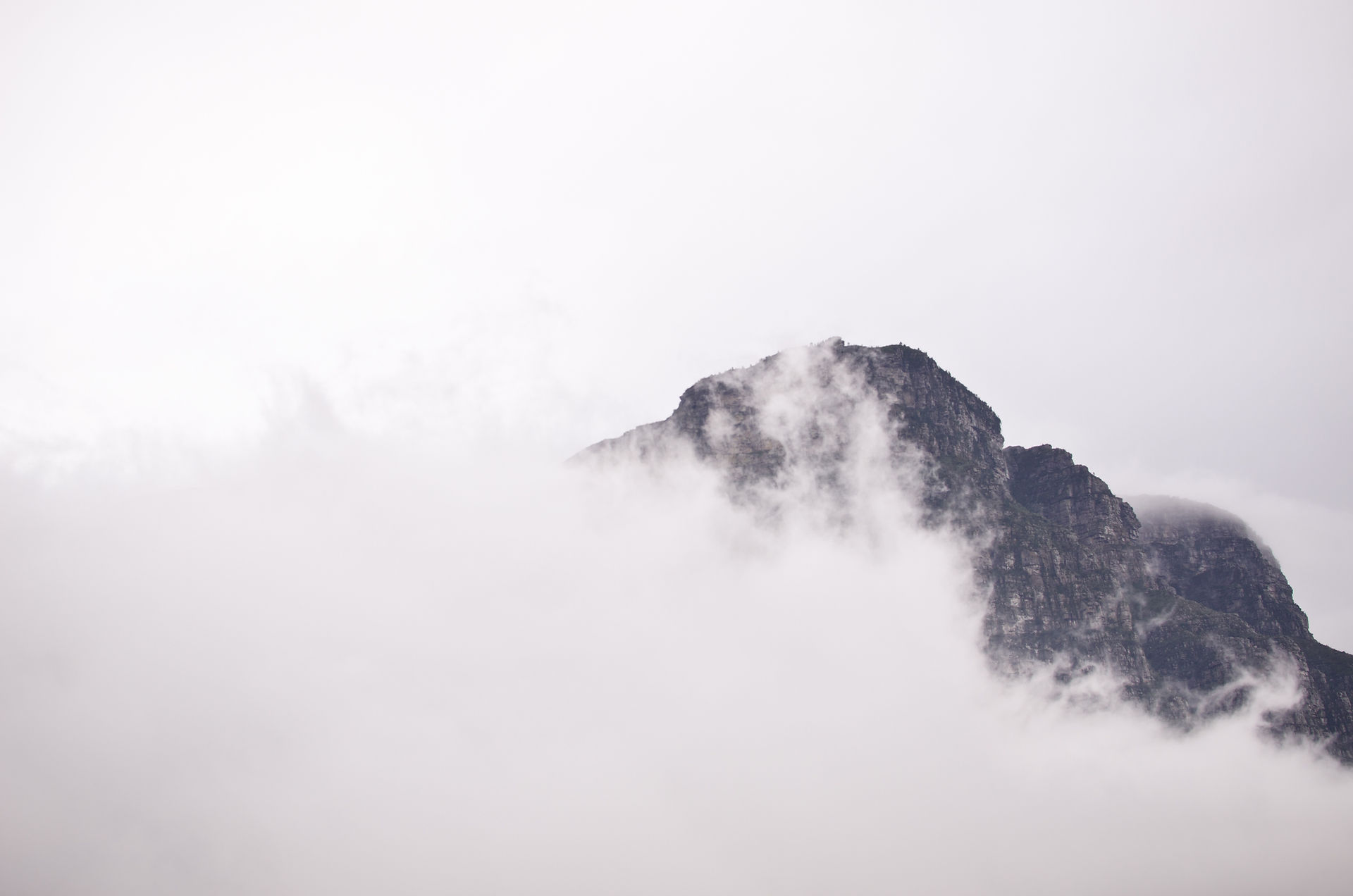
At the summit, it was just me and a wandering Ibex there. The wind was quite high at the top at times.
Coming back I'd had enough of the snow and opted to take the longer route along the roads. There was generally a clearer more walkable route along with them but I knew that it may add an extra kilometer or two for the journey.
I'd got to the Velta refuge by half 7. The walk just felt endless at times.
I reached the carpark just before sunset where I meet another British guy that was on a road trip in his Van. He approached me as I was putting some stuff in the car asking what I was like up at the top. By this stage of the evening, there were some heavy winds blowing. He was thinking about doing a hike to Velta the following day. I was exhausted. All I could think about was getting back, having a shower and getting a decent meal in me.
In total, the hike was just over 30 km in length and took me just under 12 hours for the round trip. On most of the research had read before the hike it generally recommended allowing between 8 and 10 hours. So this was a particularly long time. The snow played a big part but also because I was on my own I was stopping lots for photos and I took longer on my breaks than what I would normally do. I could start to understand why people spread this hike over two days and stay in one of the refuge shelters overnight. They looked pretty cosy as well.
Overall I didn't rate the peak as one of the more enjoyable ones that I've done up to this point, but I did see it as good training. I had completed Iceland's highest peak a few days earlier which was a 14-hour trip and 2000m ascent, and now this. I felt like I'd defiantly given myself a good work out. My legs were really achy by the end of this one.
We stayed one last night in the village of Quéntar just outside of Grenada before making our way up the Spanish coast towards Andorra for the second time this trip. All had been going well up until we got to Valencia.
Dispute
Mount Teide (3718m) on the Canary Island of Tenerife is the highest peak in Spanish territories. Its height is over 200m taller than Mulhacén. However, geographically, its located away from Europe and is an archipelago of the African continent. So it became right to question what was the most relevant peak for me to summit as part of the challenge. The answer was simple for me. It had to be the peak within the boundaries of Europe and on mainland Spain.
Tags


Comments