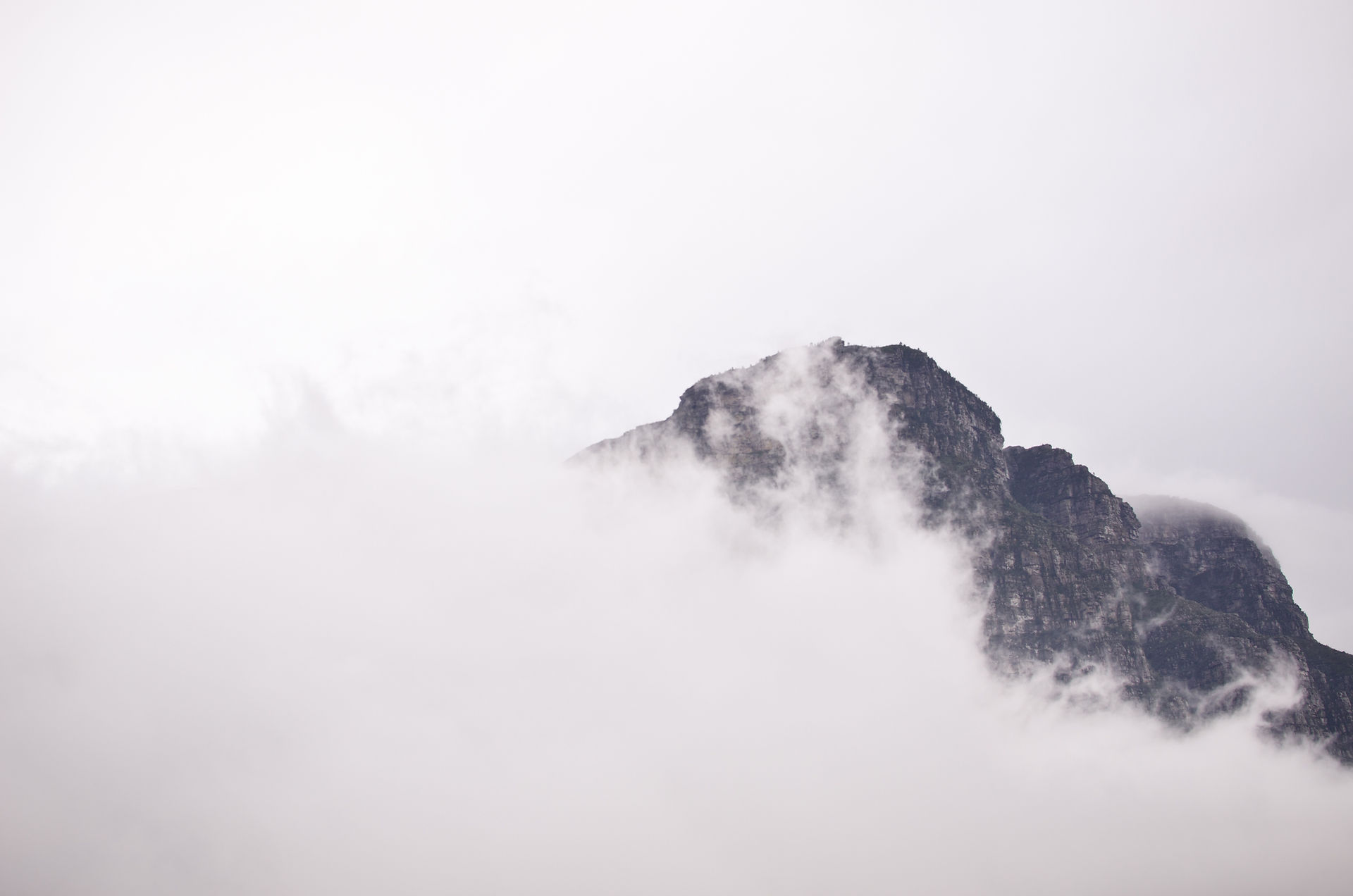
Peak 10 | Hvannadalshnúkur, Iceland | 2110m | 11th May 2019
- Adam Stevenson

- May 11, 2019
- 5 min read
Updated: Nov 12, 2019
This was the first peak that I was a little nervous about doing. It was my first serious assent and wasn't sure if how I would handle it physically or mentally as it was a step above anything that I have done previously.

Quick Summary
• Starting point - Sandfell Car Park
• Route taken - Sandfell route
• Total ascent - 2050 m
• Total length - 24.6 km round trip
• Total time for the climb - 14¼ hours
• Expense category - #High
• Equipment - #FullAlpine Gear
• Difficulty - #Level4 of 5
• Enjoyment - #4stars of 5*
Hvannadalshnúkur was always going to be one of the more challenging ones for the project. Even though in terms of height it only falls in at number 21 out of 48 in my European peaks list. It is the location of Hvannadalshnúkur - along the rim of an active volcano that involves crossing a crevasse riddled glacier make this peak a real challenge and requires the specialist knowledge.

Of course, I knew early on that I would be looking to hire a local guide for this peak but I was unsure at what part of the project was best to do it. The temptation to kick this one back towards the end was quite high as I knew that this would be an expensive peak. Flights, car hire, accommodation, guide and food all in a very expensive country - and as I was going here completely alone so there was no opportunity to split any of the bills. Something that I'd been getting used to when driving around mainland Europe in a group of three.

As if fate would have it, we had literally just been discussing the Icelandic mountain while driving to somewhere in Spain and I received a message over Instagram from a guide company that offers the service. We chatted a little and he explained that it's much better to hike it earlier in the season as the crevasses on the glacier open up and become tricky to navigate around. After having a re-look at our schedule and the 10-day weather forecast over Iceland, it seemed that it would be a great fit and work out quite well if I could get this one done the following week. So I got the wheels in motion and booked the flights to Iceland for my first #Nordic high point.

I met up with our two guides the evening before the hike at Hotel Skaftafell. Reynir from Summit Explorers, and Mike who was another guide that would be accompanying us. They briefed me and two other British people on the basic plan for the hike. A rundown on the route we would be taking, the terrain and where we would be stopping. We were then each handed a set of crampons, harness and an ice ace to prepare in our backpacks for the hike.
We would be taking the Sandfell route up and told meet at the carpark at 4:50 am to set off for the hike at 5:00 am Upon arrival we split up into our two pre-assigned groups. I was in the group with the other British couple and guide Mike, then the other group consisted of 4 local Islanders, one guy from Poland and main guide Reynir.

The first 1000m are pretty simple. Just hiking up a trail on loose stones then zig-zagging up the first part of the snow. Around 10:20 am we then got to the point that has been jokingly nicknamed as 'poop rock'. It's a dominant rock feature along the hike just before going onto the glacier. This is the point where almost all teams ascending on the summit stop for a break, get refreshment and release any toiletry needs before being roped up.
After this stage we would then would be going up and over the glacier. We were told that there would be a number of false summits when walking up. I think we ending up counting 8 or 9 in the end! It was just as much a mental task as well as a physical one. The seemingly never-ending ascent up went on for hours.

Up until we got to around 1500m or so the sun was still on us. I only had my base layer and I was still warm. I remember there being a few comments while we were walking upon how nice the day was and how lucky we were to be ascending the summit on a day like this. There was virtually no wind and we expect the few clouds that were there would shift away by early afternoon. In hindsight, we definitely forgot where we were and spoke too soon. Not long after the clouds came in and it would be the last we would see of the sun and surroundings for the next 5 hours.
Once we reach an altitude of around 1800m it levels off onto the flat plateau. We trek over this for around 3.5km avoiding the areas with the largest crevasse. At some stages, it felt like I was venturing over the antarctic as the gusts of wind blew up the snow along the ground in the thick white-out. We must have gone over this for an hour or more with virtually no change in anything.
There was another group ahead of us, we had been following their trail and graffiti in the snow the whole day. This made it much easier for us when going over the featureless plateau. But when we reached the base of the final 300m Hvannadashnukur peak we would bump into them heading back down. They hadn't reached the summit but decided that it was too unsafe of them to continue and went back. Visibility was very poor and the winds were quite strong at this point. Our groups decided to continue.

It wasn't until this point that we got on our ice axe out and crampons on and the terrain gets much steeper and slightly more technical. The cold was bitter now. As soon as I stopped moving I could just feel the heat sinking right out of me. I think it was around -13°C towards the top.
At 2 pm we had reached the summit, unfortunately, it wasn't really the photo opportunity from the top that I was hoping for. But nevertheless is an experience that I won't be forgetting anytime shortly. I was great to be in the company of some guides that really knew what they were doing in these conditions. I defiantly think I learnt a lot more from the day in the bad weather rather than it being a straight forward climb.

Coming back down it wasn't until about 1500m, and below the endless plateau, that the clouds started clearing and we had finally had good viability. I think we were all glad to be able and see mountains and sky again.
We made good speed coming down. Even caught up and overtook the group that turned back before the summit. They seemed surprised that we got up there. Our time of returning to the carpark was 19:15pm, making the total hike 14 hours and 15 mins long.


Driving back to Reykjavik after saying my goodbyes to the team I was blessed with actually being able to see the sight of the full mountain and surroundings. A truly beautiful area when reviled.

Goodbye Iceland for now. I'm sure I'll be back!
If you are thinking about doing this yourself I would highly recommend reading my Essential Guide for Climbing Hvannadalshnúkur. It includes the full details of the hike, equipment you should take and my top tips.
Tags


Comments